

arcgis vectorization detailed steps
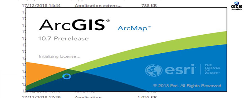
First start the arcgis server, open the license server anministrator in the program-arcgis-lincense manager, and click Start. (recommended learning: phpstorm)

##Open the program-arcgis-arccatolog, create a new shpfile, and select Line file, remember that selecting the line file here will reduce many errors for subsequent topology generation.

Load the newly created line file and the raster map to be vectorized in arcmap, click on the editor menu To start editing, the editor menu can be called up by right-clicking on the blank space of the arcgis toolbar.

Click the Create Features button to open the Create Features window, click on the line file just created, and then you can create it in the raster The diagram is underlined.

After drawing, click to save the edits, and then right-click on the layer to export the data.

The above is the detailed content of arcgis vectorization detailed steps. For more information, please follow other related articles on the PHP Chinese website!

Hot AI Tools

Undresser.AI Undress
AI-powered app for creating realistic nude photos

AI Clothes Remover
Online AI tool for removing clothes from photos.

Undress AI Tool
Undress images for free

Clothoff.io
AI clothes remover

Video Face Swap
Swap faces in any video effortlessly with our completely free AI face swap tool!

Hot Article
Hot Tools

Notepad++7.3.1
Easy-to-use and free code editor

SublimeText3 Chinese version
Chinese version, very easy to use

Zend Studio 13.0.1
Powerful PHP integrated development environment

Dreamweaver CS6
Visual web development tools

SublimeText3 Mac version
God-level code editing software (SublimeText3)
Hot Topics
 1387
1387
 52
52