When I was working on a project recently, I encountered such a demand,

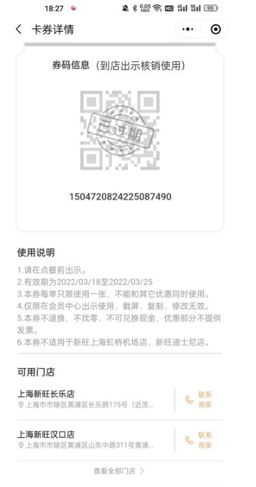
Click to use the cards and coupons in the card package. You need to display the stores nearby where the cards and coupons are used.
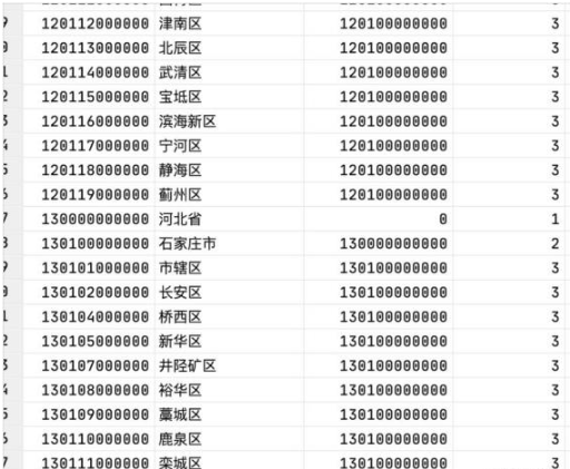
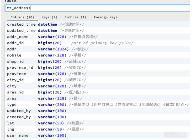
General Area street address table tz_sys_area
| Field name | Type | Remarks |
|---|---|---|
| area_id | bigint | Area ID |
| area_name | varchar(32) | area Name |
| parent_id | bigint | belongs to the parent area ID |
| level | int | Level |
| type | char | Region type 0 Country 1 Province Municipality 2 Prefecture City 3 District County |
| area_name | varchar(32) | Area name |
| bigint | The ID of the parent area | |
| int | Level |


 ##Requirement realization
 /**
     * 地理/逆地理编码
     * https://lbs.amap.com/api/webservice/guide/api/georegeo
     *
     * @return
     */
    public String addressToLongitude(String address) {
        String longitude = "";
        String urlString = "?key={key}&address={address}&output=JSON";
        String response = restTemplate.getForObject(ApiAction.API_GEOREGO_TEST + urlString, String.class, apiKey, address);
        if (StrUtil.isEmpty(response)) {
            return null;
        }
        JSONObject jsonObject = JSON.parseObject(response);
        String code = jsonObject.getString("infocode");
        if (code.equals("10000")) {
            JSONArray jsonArray = jsonObject.getJSONArray("geocodes");
            JSONObject jsonObject1 = (JSONObject) jsonArray.get(0);
            longitude = jsonObject1.get("location").toString();
        } else {
            return null;
        }
        return longitude;
}Use
 private Address setlngAndLat(Address address) {
        String addr = address.getProvince() + address.getCity() + address.getArea() + address.getAddr();
        String longitude = gaoDeService.addressToLongitude(addr);
        if (StrUtil.isBlank(longitude)) {
            throw new BusinessException("地址经纬度识别识别");
        }
        String lat = longitude.split(",")[1];
        String lng = longitude.split(",")[0];

        address.setLat(lat);
        address.setLng(lng);
        return address;
} SELECT
(
6371 * acos(
cos(radians(#{lat}))
* cos(radians(lat))
* cos(radians(lng) - radians(#{lng}))
+ sin(radians(#{lat}))
* sin(radians(lat))
)
) AS distance
FROM tz_user_addr where addr_id=#{storeAddrId}The above is the detailed content of Use Mysql to calculate address longitude, latitude, distance and real-time location. For more information, please follow other related articles on the PHP Chinese website!


