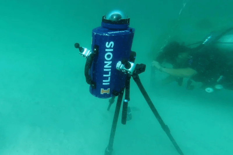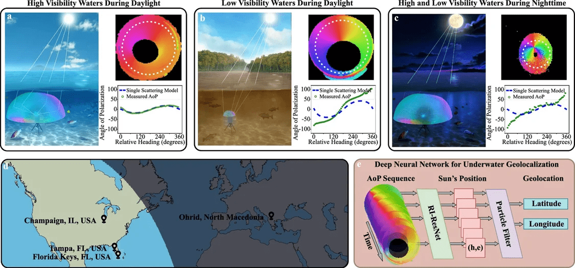
Satellite systems such as Beidou and GPS can accurately locate positions on the surface, but cannot achieve it underwater. Scientists at the University of Illinois at Urbana-Champaign recently found a way to navigate underwater without a positioning system by analyzing the polarization patterns of underwater light.

IT Home Note: The positioning system mainly relies on signals transmitted by multiple satellites to determine the user's position on land. However, this radio signal is very weak and unstable underwater, so it cannot be used in submarines or underwater exploration. Activity.

The university team used underwater cameras with special optics to take approximately 10 million photos at multiple locations, under different conditions, on different days, at different depths and at different times of the day.
The team developed an artificial intelligence algorithm and used the above photos for training, which can perform underwater positioning at a maximum depth of more than 300 meters, with a recognition accuracy of 40-50 kilometers.
[Source: IT Home]
The above is the detailed content of 10 million photos train AI model, scientists find new method for underwater positioning. For more information, please follow other related articles on the PHP Chinese website!


