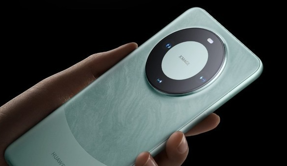
Huawei Technologies Co., Ltd. has recently exposed an innovative technology patent, which involves a "method and terminal for displaying current geographical location during emergency calls"
The patent summary reveals the key to the method Key Point: It detects whether the user initiated an emergency call. Once the user initiates an emergency call, the obtained current geographical location information will be displayed in real time on the emergency call interface. This presentation may be in at least one of text form or map form. The core goal of this technology is to provide users with real-time location information during emergency calls so that users can quickly convey this information to rescuers. This will help improve the response speed and success rate of rescue services, especially in remote or unnetworked areas.

According to the editor’s understanding, Huawei has introduced the mobile Beidou satellite messaging function on some models to cope with insufficient network coverage. In the absence of cellular or WLAN network coverage, users can use Beidou satellites to send and receive messages. This feature is currently supported on many models, including Huawei Mate 50 series, Huawei Mate Xs 2, Huawei P60 series, Huawei Mate X3, Huawei nova 11 UItra, and the newly released Huawei Mate 60 series and Huawei Mate X5. During the public beta period, some models also provided a monthly free message sending quota to meet the basic needs of users.
By introducing this patent and the Beidou satellite messaging function, Huawei further demonstrates its commitment to continuous innovation in the field of communication technology and attention to user security
The above is the detailed content of Huawei innovative technology: real-time geographical location presentation of rescue calls. For more information, please follow other related articles on the PHP Chinese website!


